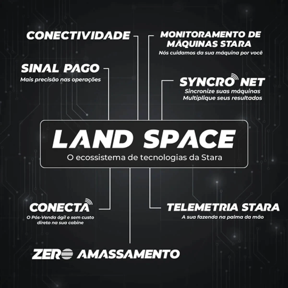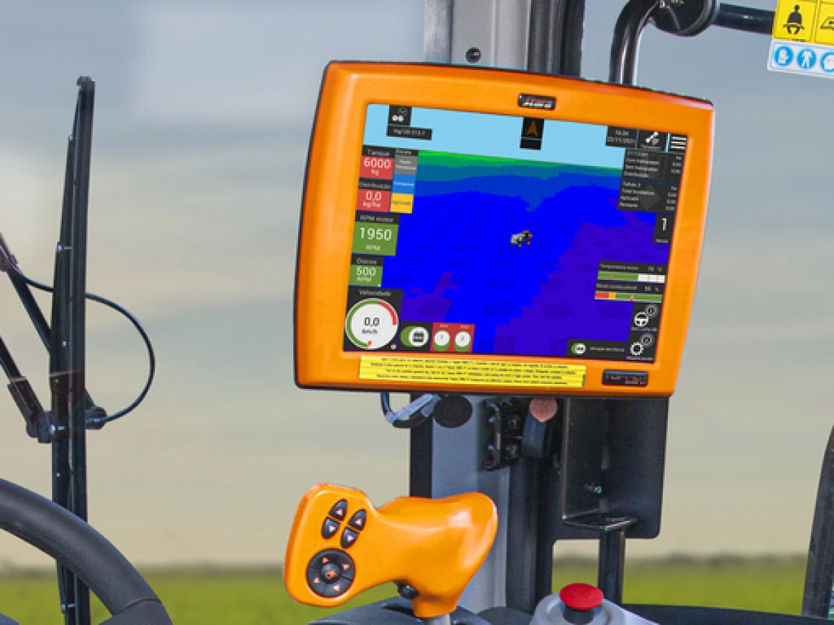
Among the Precision Agriculture innovations is the use of variable rate maps. Through them, you can make the most out of the soil productive potential to boost yield. The area mapping is carried out from the physical, chemical, and biological properties of the soil. As a result, you have different management zones and the ideal rate of products for each zone.
To use these maps, Telemetria Stara provides to send information directly to Topper without the need for a flash drive. The maps can be uploaded to Telemetria Portal by service providers who create these maps. As a consequence, the operations are faster and practical since it avoids displacement.
Topper can store plenty of maps to be used as needed. Additionally, the same map can be sent to several controllers at the same time.
To send the maps, you just have to access the Telemetria Stara Portal and choose the Map menu. Then, choose the Topper and three files that comprise the shape map. After uploading the files, the status indicated the files in the cloud. The operator only needs to accept the map on Topper when connected to the Internet, and so it is automatically uploaded. And that’s all. Now, you just perform the operation.
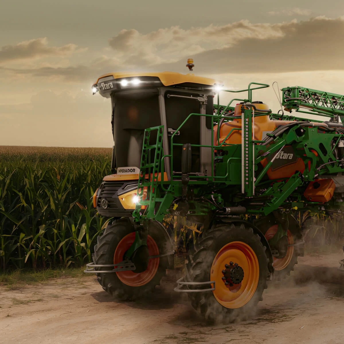
All services provided by Telemetria Stara are free of charge. To learn more, contact the nearest dealer or write an email to servicos@stara.com.br.